News

Welcome to OGC News. You can use the filter below to show only Calls For Participation in or Sponsorship of OGC Initiatives, Requests for Public Comment, General Press Releases, or Blog Posts. Or use the search box to find news on a specific topic.

You may also want to subscribe to the OGC Newsletter: a short digest of news and events sent every two weeks.

All news (1453 match criteria)

Padlock on gate with overlaid text announcing public comment period for GeoXACML v3 and related JSON Profile

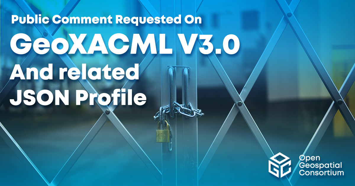
OGC seeks Public Comment on v3.0 of GeoXACML and related JSON Profile

Geospatial eXtensible Access Control Markup Language is a geospatial extension to the OASIS XACML standard for defining access rights based on geographic conditions.

Arduino with sensors and components with banner text announicng public comment period for STAplus standard.

OGC Seeks Public Comment on Extension to SensorThings API Standard, STAplus 1.0

STAplus brings features to improve the usefulness of the SensorThings API to Citizen Science.

Man in military flight simulator with overlaid text "CAE upgrades to OGC Principal Membership"

CAE upgrades OGC Membership to Principal Level

CAE’s Principal level of OGC membership supports advancing standards for high fidelity geospatial data sources.

Cloud over a lake, with text overlay "seeking public comment on FlatGeobuf becoming an OGC Community Standard"

OGC seeks Public Comment on FlatGeobuf becoming a Community Standard

FlatGeobuf is a performant binary encoding for geographic data that works well as a “cloud native” lossless format for vector data.

A road with fields on either side with text overlay: "Ordnance Survey and Next Generation OGC API Standards"

Ordnance Survey GB and Next Generation OGC API Standards

Pairing Ordnance Survey’s new, easier-to-use data with OGC’s new easy-to-use OGC APIs, OS has launched the OS NGD API – Features product, which provides access to daily-updated, next-gen data, with powerful filtering capabilities.

Aerial photo of agricultural land with text overlay announcing public comment period for AIM SWG

OGC to create Agriculture Information Model Standards Working Group; Public Comment Sought on Draft Charter

New SWG will develop an Agriculture Information Model that will provide a common language for agriculture applications to harmonize and improve data and metadata exchange.

Image of library catalog drawers with overlaid text announcing public comment period for the new OGC GeoDCAT SWG

OGC to form GeoDCAT Standards Working Group; Public Comment sought on Draft Charter

The GeoDCAT SWG aims to separate a general geospatial profile of DCAT, called GeoDCAT, out from the Europe-specific Application Profile, GeoDCAT-AP.

Storm cloud with lightning above a city with overlaid banner text announcing public comment period for OGC API Environmental Data Retrieval Standard v1.1

OGC seeks Public Comment on v1.1 of OGC API – Environment Data Retrieval Standard

The OGC API – EDR Standard makes it easier to efficiently access a wide range of geospatial or spatiotemporal data through a uniform, well-defined, simple Web interface.

Picture of Parquet flooring overlaid with text announcing public comment period for GeoParquet SWG

OGC to form new GeoParquet Standards Working Group; Public Comment sought on Draft Charter

GeoParquet adds geospatial types to Apache Parquet to serve as an efficient cloud-native vector data format.

Sign up today

Receive the latest news on OGC.

© 2024 Open Geospatial Consortium. All Rights Reserved.

Become a memberBecome a member