News

Welcome to OGC News. You can use the filter below to show only Calls For Participation in or Sponsorship of OGC Initiatives, Requests for Public Comment, General Press Releases, or Blog Posts. Or use the search box to find news on a specific topic.

You may also want to subscribe to the OGC Newsletter: a short digest of news and events sent every two weeks.

All news (1453 match criteria)

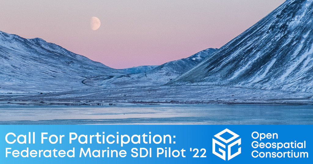
OGC Calls for Participation in Federated Marine Spatial Data Infrastructure Pilot 2022 (FMSDI-22)

FMSDI-22 aims to better integrate geospatial data to measure, analyze, predict, and visualize the impacts of Climate Change in the Arctic.

The 2022 Joint OGC OSGeo ASF Code Sprint – How it went!

Over the past decade, geospatial technologies and data have become more widespread in use and application. A key catalyst for the increased uptake of geospatial…

OGC Seeking Public Comment on GeoPackage WKT for Coordinate Reference Systems Extension Candidate Standard

The Open Geospatial Consortium (OGC) on the GeoPackage Well Known Text (WKT) for Coordinate Reference Systems (CRS) Extension candidate standard.The candidate standard revises and replaces the GeoPackage WKT for Coordinate Reference Systems Extension that is currently published as Annex F.10 of GeoPackage Encoding Standard 1.3.0.The candidate extension defines how to encode Coordinate Reference Systems (CRS) in GeoPackage using the OGC CRS WKT2 standard.The core (unextended) GeoPackage Encoding Standard supports the older OGC CRS WKT standard.The candidate OGC GeoPackage WKT for Coordinate Reference Systems Extension standard is available for review and comment on the OGC Portal.

OGC Seeking Public Comment on GeoPackage WKT for Coordinate Reference Systems Extension Candidate Standard

This new revision adds coordinate epochs to the encoding of Coordinate Reference Systems in a GeoPackage, enabling full support of CRS WKT2 and dynamic CRS.

The Metaverse is Geospatial

The Metaverse is Geospatial

With momentum and interest once again building around the ‘metaverse’, OGC hosted a ‘Metaverse Ad-Hoc Session’ at its virtual 121st Member Meeting in December 2021….

OGC Seeks Public Comment on the GeoPackage Conceptual Model Candidate Standard

The Open Geospatial Consortium (OGC) seeks public comment on the GeoPackage Conceptual Model Candidate Standard.The GeoPackage Conceptual Model Candidate Standard documents an OGC Conceptual and Logical Model Standard for encoding geospatial information in other containers, specifically:vector features;tile matrix sets of imagery and raster maps at various scales;attributes (non-spatial data); andextensions.The GeoPackage Conceptual Model Candidate Standard was developed retroactively from the GeoPackage Encoding Standard (GES) v1.3.0.The GeoPackage Conceptual Model Candidate Standard is available for review and comment on the OGC Portal.Comments are due by 27 May, 2022, and should be submitted via the method outlined on the GeoPackage Conceptual Model Candidate Standard’s public comment request page.

OGC Seeks Public Comment on the GeoPackage Conceptual Model Candidate Standard

New OGC Standard separates and standardizes the Conceptual and Logical Models of GeoPackage to enable future use-cases and computing environments.

OGC Seeks Public Comment on update to 3D Tiles Community Standard

3D Tiles enables sharing, visualizing, fusing, and interacting with massive heterogenous 3D geospatial content across desktop, web, mobile, and metaverse applications.3D Tiles 1.1 promotes several 3D Tiles 1.0 extensions to ‘core’ and introduces new glTF™ extensions for fine-grained metadata storage.3D Tiles was first announced at SIGGRAPH in 2015, and was published as an OGC community standard in 2019.A Community Standard is an official standard of OGC that is developed and maintained external to the OGC.The 3D Tiles v1.1 Community Standard Justification document, which details the changes in v1.1, is available for review and comment on the OGC Portal.

OGC Seeks Public Comment on update to 3D Tiles Community Standard

3D Tiles enables sharing, visualizing, fusing, and interacting with massive heterogenous 3D geospatial content across desktop, web, mobile, and metaverse applications.

Sign up today

Receive the latest news on OGC.

© 2024 Open Geospatial Consortium. All Rights Reserved.

Become a memberBecome a member