News

Welcome to OGC News. You can use the filter below to show only Calls For Participation in or Sponsorship of OGC Initiatives, Requests for Public Comment, General Press Releases, or Blog Posts. Or use the search box to find news on a specific topic.

You may also want to subscribe to the OGC Newsletter: a short digest of news and events sent every two weeks.

All news (1453 match criteria)

OGC seeks public comment on candidate OGC API – Tiles – Part 1: Core Standard

The Open Geospatial Consortium (OGC) seeks public comment on the candidate OGC API – Tiles – Part 1: Core Standard.As with other OGC API Standards, OGC API – Tiles is delivered in ‘Parts’ that allow developers to pick and choose the functionality they want in the API they are building.A web API can combine some requirements classes of this candidate OGC API standard with other OGC API standards (including OGC API – Common) to add functionality to said web API.The candidate OGC API – Tiles Standard can, therefore, be used to publish tiled maps (e.g., PNG, JPEG), tiled feature data (e.g., GeoJSON Vector Tiles, Mapbox Vector Tiles), or tiled coverages (e.g., netCDF, GeoTIFF).The candidate OGC API Tiles – Part 1: Core Standard is now open for public review and comment.

OGC seeks public comment on candidate OGC API – Tiles – Part 1: Core Standard

The OGC API – Tiles specification enables Web APIs to quickly and efficiently serve tiles of spatially referenced data or of maps with predefined content, extent, and resolution.

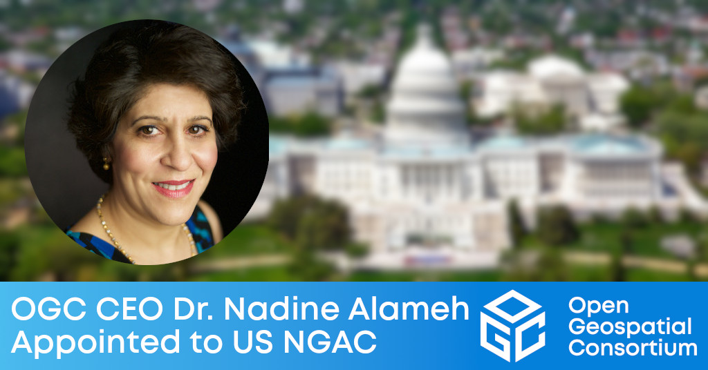
OGC CEO Dr. Nadine Alameh appointed to US National Geospatial Advisory Committee

NGAC provides advice and recommendations to the US Federal Government on US national geospatial policy and management issues, the development of the US NSDI, and more.The Open Geospatial Consortium (OGC) is pleased to announce that the US Department of the Interior has appointed OGC CEO Dr. Nadine Alameh to serve on the National Geospatial Advisory Committee (NGAC).“We are happy to see Dr. Alameh selected for this critical Committee for the advancement, promotion and adoption of geospatial technologies across the US,” said Jeffrey Harris, Chair of the OGC Board of Directors.The NGAC reviews and comments on geospatial policy and management issues and provides a forum to convey views representative of non-Federal partners in the geospatial community.The global OGC Community engages in a mix of activities related to location-based technologies: developing consensus-based open standards and best-practice; collaborating on agile innovation initiatives; engaging in community meetings, events, and workshops; and more.

OGC CEO Dr. Nadine Alameh appointed to US National Geospatial Advisory Committee

NGAC provides advice and recommendations to the US Federal Government on US national geospatial policy and management issues, the development of the US NSDI, and more.

Geo AI Banner

A Strong Foundation for GeoAI Innovation

New AI capabilities have reoriented and transformed GIS and Remote Sensing, providing new solutions and greatly increasing efficiency.

data access api banner

Lowering the barrier of entry for OGC Web APIs

A version of this article originally appeared in the May/June 2021 issue of GeoConnexion Magazine under the title ‘Lowering The Barrier To Entry.’ For the last few…

Revised Guide to the Role of Standards in Geospatial Information Management unveiled as an online resource for the global community

The United Nations Committee of Experts on Global Geospatial Information Management (UN-GGIM) endorsed this edition during their Eleventh Session in August 2021, in decision 11/111.The Standards Guide is available at standards.unggim.ogc.org.The Standards Guide also now aligns with the United Nations Integrated Geospatial Information Framework (IGIF).With the Standards Guide in a more readily maintainable digital form, we will support its regular review, maintenance, and enhancement based on advancements of our respective standards.The free 3rd Edition of the Guide to the Role of Standards in Geospatial Information Management, and the feedback form, are available now at standards.unggim.ogc.org.

Revised Guide to the Role of Standards in Geospatial Information Management unveiled as an online resource for the global community

Latest revision to the Standards Guide provides recommendations on standards and good practices that ensure that the growing wealth of geospatial data and technologies can be shared, maintained, integrated, and applied.

OGC Calls for Participation in Testbed-18, its Annual Major Innovation Testbed; Funding Available for Participants

OGC Testbed-18 will pave the way towards new levels of interoperability in areas as diverse as New Space, Machine Learning, Open Science, and Building Energy. Last year alone, OGC’s Innovation Program gave US$2.1 Million dollars back to the geospatial community.

Sign up today

Receive the latest news on OGC.

© 2024 Open Geospatial Consortium. All Rights Reserved.

Become a memberBecome a member