News

Welcome to OGC News. You can use the filter below to show only Calls For Participation in or Sponsorship of OGC Initiatives, Requests for Public Comment, General Press Releases, or Blog Posts. Or use the search box to find news on a specific topic.

You may also want to subscribe to the OGC Newsletter: a short digest of news and events sent every two weeks.

All news (1453 match criteria)

OGC Calls for Participation in Testbed-18, its Annual Major Innovation Testbed; Funding Available for Participants

OGC Testbed-18 will pave the way towards new levels of interoperability in areas as diverse as New Space, Machine Learning, Open Science, and Building Energy.

Developers are invited to the 2022 Joint OGC OSGeo ASF Code Sprint

The 2nd Open Source Software and Open Standards Code Sprint will advance multiple ASF and OSGeo projects, supported by OGC Standards, including OGC API Standards.The Open Geospatial Consortium (OGC), the Apache Software Foundation (ASF), and the Open Source Geospatial Foundation (OSGeo) invite software developers to a joint Virtual Code Sprint from March 8-10, 2022, with a pre-event webinar on February 23.The Code Sprint, sponsored by OGC Strategic Member Ordnance Survey, will cover multiple ASF and OSGeo projects, as well as related OGC Standards – including OGC API Standards.To prepare for the Code Sprint, a webinar will be held on February 23, 2022, at 9:00am US Eastern Time.To register please visit the 2022 Joint OGC – OSGeo – ASF Code Sprint registration page.

Developers are invited to the 2022 Joint OGC OSGeo ASF Code Sprint

The 2nd Open Source Software and Open Standards Code Sprint will advance multiple ASF and OSGeo projects, supported by OGC Standards, including OGC API Standards. Sponsorship is still available.

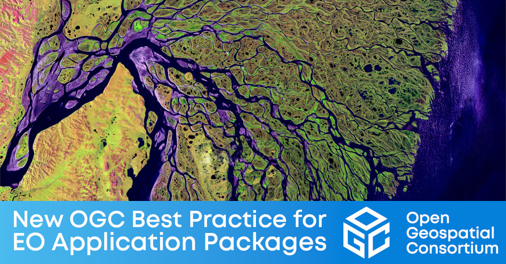
OGC Publishes Best Practice for Earth Observation Application Packages

The new OGC Best Practice is a guide for developers that wish to package and deploy Earth Observation (EO) Applications for a selected Exploitation Platform.“OGC has released the Best Practice for Earth Observation Application Package as a guide for application developers to ensure portability of their EO Application Packages across different cloud infrastructures,” said Günther Landgraf, Head of Digital Platforms at the European Space Agency (ESA) and co-author of the document.The Best Practice document was borne from work in OGC Testbeds 13 through 16, as well as the OGC Earth Observation Applications Pilot, which were conducted under OGCs Innovation Program.To keep up-to-date with, or contribute to, OGC’s standardization efforts surrounding EO Exploitation Platforms, join the OGC Earth Observation Exploitation Platform Domain Working Group (DWG).The OGC Best Practice for Earth Observation Application Package document is available for free from the OGC Best Practice page on ogc.org.

OGC Publishes Best Practice for Earth Observation Application Packages

The document outlines the implementation, packaging, and deployment of cross-cloud EO Applications – A step forward for greater efficiency and bringing the ‘user to the data.’

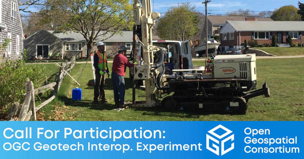
Call For Participation: OGC Geotech Interoperability Experiment

The Geotech IE will ensure that geotechnical engineering data can seamlessly move between GIS and BIM environments in support of engineering and infrastructure projects.The Open Geospatial Consortium (OGC) has issued a Call for Participation (CFP) to solicit proposals for the OGC Geotech Interoperability Experiment (IE).The OGC Geotech IE will be conducted under OGCs Innovation Program, a collaborative, agile, and hands-on prototyping and engineering environment where sponsors and OGC members come together to address location interoperability challenges while validating international open standards.To learn about the benefits of sponsoring an OGC Innovation Program Initiative such as this, visit the OGC Innovation Program webpage, or watch this short video on how OGC’s Innovation Program can benefit your organization.For more information on the IE, including the Call For Participation (CFP), visit the OGC Geotech Interoperability Experiment webpage on ogc.org.

Call For Participation: OGC Geotech Interoperability Experiment

The Geotech IE will ensure that geotechnical engineering data can seamlessly move between GIS and BIM environments in support of engineering and infrastructure projects.

7 Key Takeaways from the OGC Climate Change Special Session

Article contributed by Steve Liang, SensorUp “If you can’t measure it, you can’t manage it.” The quote is originally from management consultant Peter Drucker and…

Prashant Shukle elected as Vice Chair of the OGC Board of Directors

Prashant Shukle brings to the role an understanding of OGC’s international operations & partnerships that will benefit the Consortium’s governance and strategy.The Open Geospatial Consortium (OGC) Board of Directors announces that it has elected Prashant Shukle as its new Vice Chair.“As a global Consortium, we have substantially benefited from Prashant’s expertise and perspectives as a Director,” said Jeffrey Harris, Chair of the OGC Board of Directors.Prashant also serves as a strategic advisor, mentor, and board member for such organisations as the World Geospatial Industry Council, PlaceFund; and the AECO Innovation Lab Board of Experts.“I am humbled and feel very privileged by the honour of being elected by my colleagues from the OGC Board of Directors,” said Prashant.

Sign up today

Receive the latest news on OGC.

© 2024 Open Geospatial Consortium. All Rights Reserved.

Become a memberBecome a member