News

Welcome to OGC News. You can use the filter below to show only Calls For Participation in or Sponsorship of OGC Initiatives, Requests for Public Comment, General Press Releases, or Blog Posts. Or use the search box to find news on a specific topic.

You may also want to subscribe to the OGC Newsletter: a short digest of news and events sent every two weeks.

All news (1453 match criteria)

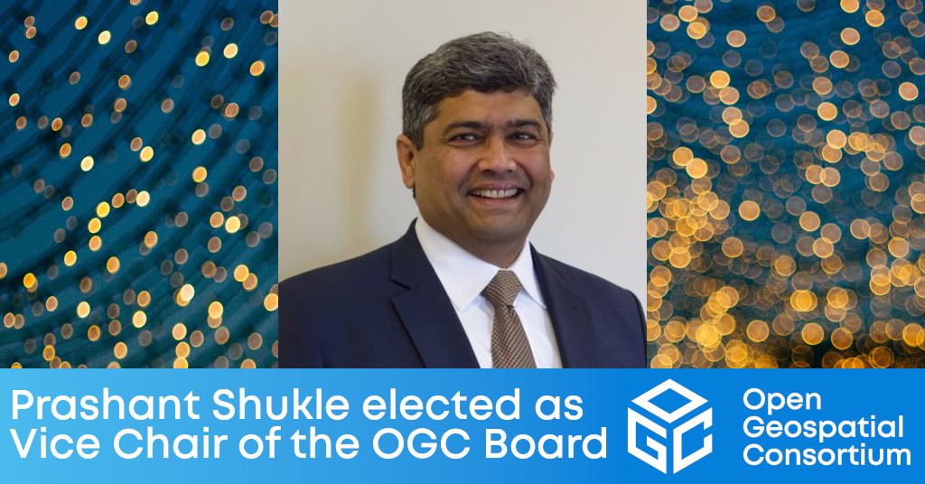
Prashant Shukle elected as Vice Chair of the OGC Board of Directors

Prashant Shukle brings to the role an understanding of OGC’s international operations & partnerships that will benefit the Consortium’s governance and strategy.

OGC Membership approves the OGC API – Processes – Part 1: Core specification as official OGC Standard

The Open Geospatial Consortium (OGC) is excited to announce that the OGC Membership has approved the OGC API – Processes – Part 1: Core specification for adoption as an official OGC Standard.As with many other OGC APIs, the OGC API – Processes Standard offers a modular approach to implementation.OGC API – Processes – Part 1: Core, defines the minimum amount of capabilities required for a functioning, compliant service.Part 3 aims to provide the ability to: chain nested processes; refer to external processes and collections accessible via other OGC API standards; and trigger execution of processes through OGC API data delivery specifications (such as OGC API – Features, Tiles, Maps and Coverages).As with any OGC standard, the OGC API – Processes – Part 1: Core 1.0 standard is free to download and implement.

OGC Membership approves the OGC API – Processes – Part 1: Core specification as official OGC Standard

As the successor to the WPS standard, OGC API – Processes provides a means to build simple-to-understand Web APIs through which complex computational tasks can be executed.

Towards a cloud native OGC Part 1

Towards a Cloud-Native OGC

Article Contributed by Chris Holmes, OGC Visiting Fellow – About six months ago I started as the first ‘Visiting Fellow’ of the Open Geospatial Consortium. It’s been…

OGC Membership approves new version of 3D streaming Community Standard, I3S

A Scene Layer can be accessed in the form of a web service or Scene Layer Package (SLPK) – a file-based exchange format.The changes included in v1.2 of the OGC I3S Community Standard include:Enhanced performance and scalability.This version 1.2 of the OGC Community Standard mirrors version 1.7 of the Esri Scene Layers: Service and Package specification.As with any OGC standard, the open Indexed 3D Scene Layer and Scene Layer Package Format Specification (I3S) Community Standard is free to download and implement.Interested parties can view and download the standard here or from OGC’s Indexed 3D Scene Layers (I3S) Community Standard Page.

OGC Membership approves new version of 3D streaming Community Standard, I3S

Latest version of the I3S Community Standard, used for streaming large 3D datasets to desktop and mobile devices, improves performance and scalability with enhancements to 3D Object and Integrated Mesh layers.

How it Went! The November 2021 Geospatial API Virtual Code Sprint

From November 15-17, 2021, OGC and ISO/TC 211 jointly hosted the November 2021 Geospatial API Virtual Code Sprint. The code sprint focused on the refinement of…

Chris Little receives OGC’s 2021 Gardels Award

Congratulations to Chris Little, awarded the 2021 Gardels Award for leading impactful efforts in the meteorology and geospatial science communities, including his exemplary chairing of OGC Working Groups.Left to Right: OGC Chief Standards Officer, Scott Simmons, Gardels Recipient Chris Little, and OGC CEO Nadine Alameh.At the 121st Open Geospatial Consortium (OGC) Member Meeting, held virtually, Chris Little was presented the OGC’s prestigious Kenneth D. Gardels Award.Chris’ skill in bridging communities exemplifies the values associated with the Gardels Award.Award nominations are made by members – the prior Gardels Award winners – and approved by the Board of Directors.

OGC Seeks Public Comment on OGC API – Common – Part 2: Geospatial Data

OGC API – Common – Part 2: Geospatial Data provides a common connection between the API landing page (defined by Part 1) and resource-specific details.The Open Geospatial Consortium (OGC) is seeking public comment on the OGC API – Common – Part 2: Geospatial Data Candidate Standard.The purpose of OGC API – Common – Part 2: Geospatial Data is to provide a common connection between the API landing page and resource-specific details.OGC API – Common – Part 2: Geospatial Data builds on Part 1 by providing a common connection between the API landing page and geospatial data collections.The OGC API – Common – Part 2: Geospatial Data Candidate Standard is available for review and comment on the OGC Portal.

Sign up today

Receive the latest news on OGC.

© 2024 Open Geospatial Consortium. All Rights Reserved.

Become a memberBecome a member