News

Welcome to OGC News. You can use the filter below to show only Calls For Participation in or Sponsorship of OGC Initiatives, Requests for Public Comment, General Press Releases, or Blog Posts. Or use the search box to find news on a specific topic.

You may also want to subscribe to the OGC Newsletter: a short digest of news and events sent every two weeks.

All news (1453 match criteria)

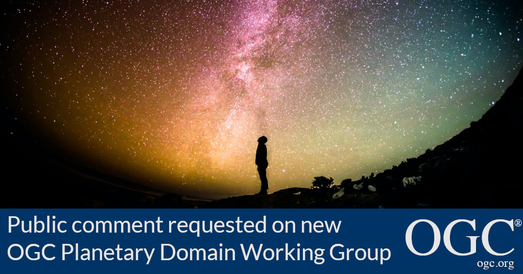
OGC to form new Planetary Domain Working Group; Public Comment sought on Draft Charter

New OGC DWG will identify requirements to revise or extend OGC standards for use with data concerning celestial bodies other than the Earth.

OGC Compliance Certification Available for v1.0 of the OGC CDB Standard

The Open Geospatial Consortium (OGC) is excited to announce that the Executable Test Suite (ETS) for version 1.0 of the OGC CDB Standard has been approved by the OGC Membership.Products that implement the OGC CDB 1.0 Standard and pass the tests in the ETS can now be certified as OGC Compliant.The OGC CDB standard defines an open format for the storage, access, and modification of a synthetic environment database.OGC compliance provides confidence that a product will seamlessly integrate with other compliant solutions regardless of the vendor that created them.Implementers of the OGC CDB 1.0 Standard – or other OGC standards – can validate their products using the OGC validator tool.

OGC Compliance Certification Available for v1.0 of the OGC CDB Standard

Implementers of OGC CDB v1.0 are invited to validate their products using the new test suite.

Public Comment sought on draft Zarr Storage Specification 2.0 OGC Community Standard

The Open Geospatial Consortium (OGC) seeks public comment on the draft Zarr Storage Specification 2.0 Community Standard.An approved OGC Community Standard is an official standard of OGC that is considered to be a widely used, mature specification, but was developed outside of OGC’s standards development and approval process.The originator of the standard brings to OGC a “snapshot” of their work that is then endorsed by OGC membership so that it can become part of the OGC Standards Baseline.The candidate Zarr Storage Specification 2.0 Community Standard is available for review and comment on the OGC Portal.Comments are due by July 29, 2021, and should be submitted via the method outlined on the Zarr Storage Specification 2.0 Community Standard’s public comment request page.

Public Comment sought on draft Zarr Storage Specification 2.0 OGC Community Standard

Zarr can represent very large array datasets in a simple, scalable way, and is compatible with cloud object storage – making it ideal for analysis-ready geospatial data.

OGC considering CoverageJSON as community standard; seeks public comment

The Open Geospatial Consortium (OGC) is considering CoverageJSON for adoption as an official OGC Community Standard.A new Work Item Justification to begin the Community Standard endorsement process is available for public comment.The CoverageJSON format supports the efficient download of useful quantities of data from datastores to lightweight clients, such as browsers and mobile applications.The candidate CoverageJSON Community Standard Work Item Justification is available for review and comment on the OGC Portal.Comments are due by July 25, 2021, and should be submitted via the method outlined on the CoverageJSON Community Standard Work Item Justification’s public comment request page.

OGC considering CoverageJSON as community standard; seeks public comment

CoverageJSON has been demonstrated to be an effective, efficient format, friendly to web and application developers.

The US Geospatial Data Act – Evolving Beyond Committees, Processes, and Tools

Cowritten by co-written by Molly Schar, NSGIC Executive Director, and Nadine Alahmeh, OGC CEO – It’s no secret, geospatial is mainstream, and it is everywhere. As…

Vijay Krishnan from Intel Geospatial on AI, the Cloud, and the future of data integration, visualization, and analysis

Using OGC standards, the Intel Geospatial platform is providing simple access to a wide range of high-quality 2D and 3D geospatial data and analytic applications for asset owners and service provider businesses that collect geospatial imagery using drones, planes, vehicles, and more.

Sign up today

Receive the latest news on OGC.

© 2024 Open Geospatial Consortium. All Rights Reserved.

Become a memberBecome a member