News

Welcome to OGC News. You can use the filter below to show only Calls For Participation in or Sponsorship of OGC Initiatives, Requests for Public Comment, General Press Releases, or Blog Posts. Or use the search box to find news on a specific topic.

You may also want to subscribe to the OGC Newsletter: a short digest of news and events sent every two weeks.

All news (1453 match criteria)

Developers Invited To The July 2021 OGC API Virtual Code Sprint

Next OGC API Code Sprint will further advance OGC API – Processes, – Coverages, and – Records.The Open Geospatial Consortium (OGC) invites software developers to the July 2021 OGC API Virtual Code Sprint, to be held 21-23 July, 2021.The July 2021 OGC API Virtual Code Sprint will focus on the following draft OGC API specifications:OGC API – ProcessesOGC API – CoveragesOGC API – RecordsThe goal of the Code Sprint will be to progress each of these specifications.Registration for the July 2021 OGC API Virtual Code Sprint and its associated Pre-event Webinar is available here.Useful information about the code sprint is available on the July 2021 OGC API Virtual Code Sprint GitHub Repository.

Developers Invited To The July 2021 OGC API Virtual Code Sprint

Next OGC API Code Sprint will further advance OGC API – Processes, – Coverages, and – Records.

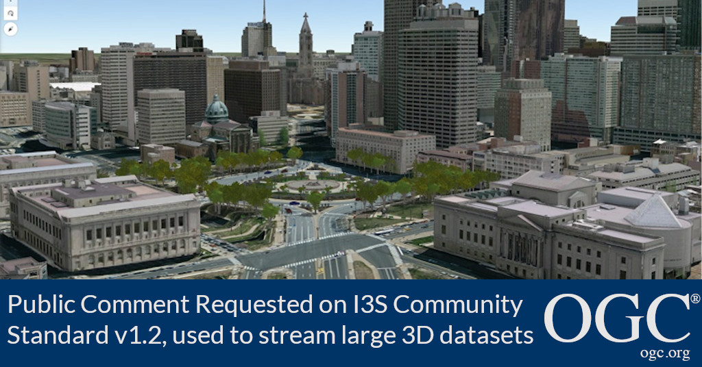
Public Comment Requested on revision to OGC 3D streaming community standard, I3S

New version of the I3S Community Standard, used for streaming large 3D datasets to desktop and mobile devices, improves performance and scalability with enhancements to 3D Object and Integrated Mesh layersThe Open Geospatial Consortium (OGC) seeks public comment on version 1.2 of the OGC Indexed 3d Scene Layer (I3S) and Scene Layer Package (*.slpk) Format Community Standard.The changes included in v1.2 of the OGC I3S Community Standard include:Enhanced performance and scalability.This version 1.2 of the OGC Community Standard mirrors version 1.7 of the original Esri Scene Layers: Service and Package Standard.The OGC Indexed 3d Scene Layer (I3S) and Scene Layer Package (*.slpk) Format Candidate Community Standard Version 1.2 is available for review and comment on the OGC Portal.Comments are due by July 16, 2020, and should be submitted via the method outlined on the OGC Indexed 3d Scene Layer (I3S) and Scene Layer Package (*.slpk) Format Candidate Community Standard Version 1.2’s public comment request page.

Public Comment Requested on revision to OGC 3D streaming community standard, I3S

New version of the I3S Community Standard, used for streaming large 3D datasets to desktop and mobile devices, improves performance and scalability with enhancements to 3D Object and Integrated Mesh layers

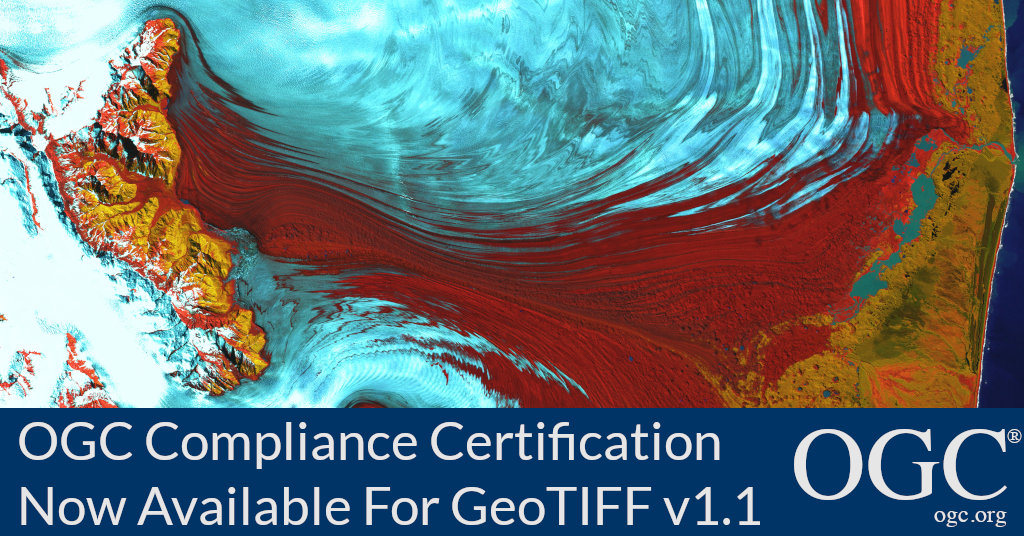
OGC Compliance Certification Available for v1.1 of the OGC GeoTIFF Encoding Standard

Implementers of GeoTIFF v1.1 are invited to validate their products using the new test suite.

OGC Compliance Certification Available for v1.1 of the OGC GeoTIFF Encoding Standard

The Open Geospatial Consortium (OGC) is excited to announce that the Executable Test Suite (ETS) for version 1.1 of the OGC GeoTIFF Standard has been approved by the OGC Membership.Products that implement the OGC GeoTIFF 1.1 Standard and pass the tests in the ETS can now be certified as OGC Compliant.The OGC GeoTIFF 1.1 Standard specifies requirements and encoding rules for using the Tagged Image File Format (TIFF) for the exchange of georeferenced or geocoded imagery.The OGC GeoTIFF 1.1 Standard formalizes the existing community GeoTIFF specification version 1.0 and aligns it with the continuing addition of data to the EPSG Geodetic Parameter Dataset.Implementers of the OGC GeoTIFF 1.1 Standard – or other OGC standards – can validate their products using the OGC validator tool.

OGC Compliance Certification Available for v2.0 of the Sensor Model Language (SensorML): Model and Encoding Standard

Products that implement the SensorML 2.0 Standard and pass the tests in the ETS can now be certified as OGC Compliant.The OGC Compliance Program is a certification process that ensures organizations solutions are compliant with OGC Standards.OGC compliance provides confidence that a product will seamlessly integrate with other compliant solutions regardless of the vendor that created them.More information about the OGC compliance process is available at ogc.org/compliance.Implementers of the SensorML 2.0 Standard – or other OGC standards – can validate their products using the OGC validator tool.

OGC Compliance Certification Available for v2.0 of the Sensor Model Language (SensorML): Model and Encoding Standard

Implementers of SensorML v2.0 are invited to validate their products using the new test suite.

Innovation at OGC: Data-driven Decision Making

Data-driven decision making is fundamental to all aspects of society, In almost all cases, location data is involved. For decades, OGC has driven toward open…

Sign up today

Receive the latest news on OGC.

© 2024 Open Geospatial Consortium. All Rights Reserved.

Become a memberBecome a member