October 29, 2020
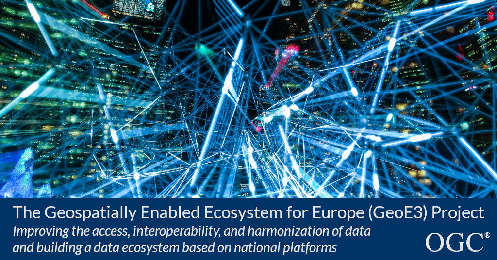
OGC announces kickoff to the Geospatially Enabled Ecosystem for Europe (GeoE3) project
3 year EU-funded project will improve access, interoperability, and harmonization of data, and build a data ecosystem based on national platformsThe Open Geospatial Consortium (OGC) announces its participation in the EU-funded Geospatially Enabled Ecosystem for Europe (GeoE3) project.The three-year project, part of the Connecting Europe Facility, has the following goals:Better access and interoperability of Geospatial data and other data.Dynamic harmonisation of geospatial data based on use cases and new APIs, including the OGC APIs.To learn more about OGCs involvement in GeoE3 and other OGC news, including projects run by the OGC Innovation Program, sign up to the OGC newsletter here.About OGCThe Open Geospatial Consortium (OGC) is an international consortium of more than 500 businesses, government agencies, research organizations, and universities driven to make geospatial (location) information and services FAIR – Findable, Accessible, Interoperable, and Reusable.