News

Welcome to OGC News. You can use the filter below to show only Calls For Participation in or Sponsorship of OGC Initiatives, Requests for Public Comment, General Press Releases, or Blog Posts. Or use the search box to find news on a specific topic.

You may also want to subscribe to the OGC Newsletter: a short digest of news and events sent every two weeks.

All news (1453 match criteria)

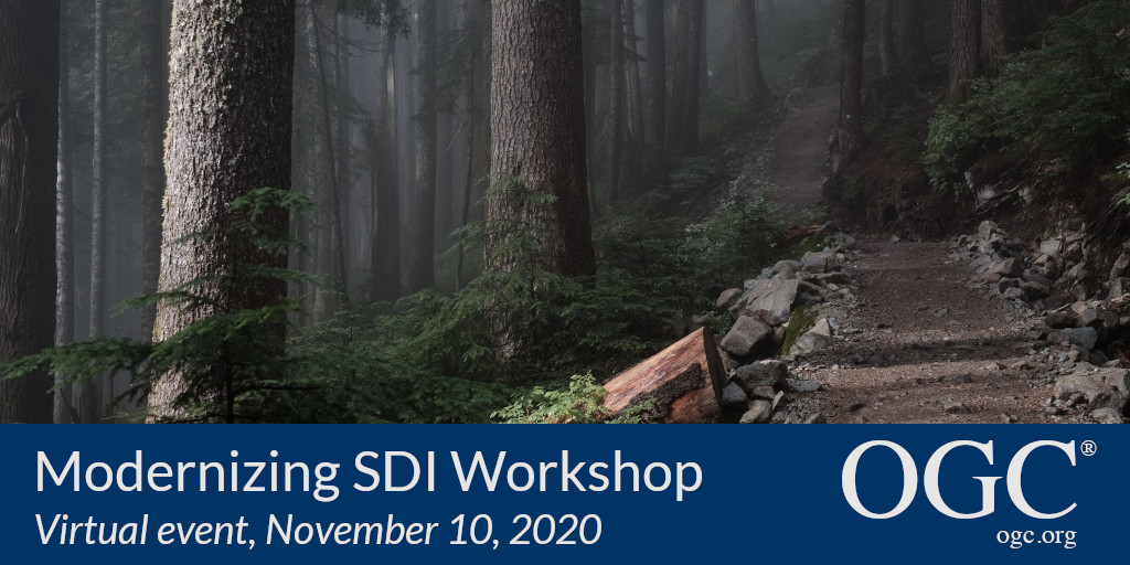
OGC and NRCan invite you to the Modernizing SDI Workshop

Workshop will focus on Geospatial Data Interoperability for Cumulative Effects and examine novel, standards-based solutions that address the challenges of integrating disparate data.The Open Geospatial Consortium (OGC) and OGC Strategic Member Natural Resources Canada (NRCan) invite participation in the Modernizing Spatial Data Infrastructure (SDI) for Cumulative Effects Workshop to be held virtually on November 10, 2020.The 3-hour community workshop will be presented in three parts:An overview of data interoperability challenges in an SDI environment, using a real-world case study.The workshop forms part of OGC’s Modernizing SDI: Enabling Data Interoperability for Cumulative Effects Concept Development Study (CDS).For more information on the workshop, including how to register, visit the Modernizing Spatial Data Infrastructure (SDI) for Cumulative Effects Workshop event page on ogc.org.

OGC and NRCan invite you to the Modernizing SDI Workshop

Workshop will focus on Geospatial Data Interoperability for Cumulative Effects and examine novel, standards-based solutions that address the challenges of integrating disparate data.

Open Geospatial Consortium considering Apple’s Indoor Mapping Data Format as Community Standard

IMDF targets indoor mapping and provides a mobile-friendly, compact, and human-readable data model for any indoor space, providing a basis for orientation, navigation, and discovery.The Open Geospatial Consortium (OGC) is seeking public comment on the draft Indoor Mapping Data Format (IMDF) before seeking adoption as a Community Standard.An OGC Community Standard is an official standard of OGC that was already available as a widely used, mature specification, but was developed outside of OGC’s standards development and approval process.The candidate Indoor Mapping Data Format (IMDF) Community Standard is available for review and comment on the OGC Portal.Comments are due by November 18, 2020, and should be submitted via the method outlined on the Indoor Mapping Data Format (IMDF) Community Standard’s public comment request page.

Open Geospatial Consortium considering Apple’s Indoor Mapping Data Format as Community Standard

IMDF targets indoor mapping and provides a mobile-friendly, compact, and human-readable data model for any indoor space, providing a basis for orientation, navigation, and discovery.

OGC membership approves new standard: Symbology Conceptual Model: Core Part

The Open Geospatial Consortium (OGC) membership has approved the Symbology Conceptual Model: Core Part (SymCore) as a new OGC Standard.The Symbology Conceptual Core Model (SymCore) is the basis for defining symbology rules for the portrayal of geographic data.SymCore is modular & extensible (one core model with many extensions), and encoding agnostic (one symbology model can have many encodings).As with any OGC standard, the open Symbology Conceptual Core Model (SymCore) standard is free to download and implement.Interested parties can view and download the Symbology Conceptual Core Model (SymCore) Standard via ogc.org.

OGC membership approves new standard: Symbology Conceptual Model: Core Part

The “SymCore” standard will increase consistency between different maps by defining agreed upon symbology rules.

SensorML 1.0 and Sensor Web Enablement Common 2.0 Executable Test Suites released

Implementers are invited to validate their products using the new test suites, which are available on the OGC validator tool.Testing involves submitting a SensorML or SWE Common file produced by the product being assessed.The SWE Common standard is part of the Sensor Web Enablement (SWE) suite of OGC Standards.The SWE Common standard defines low-level data models for exchanging sensor related data between nodes of a sensor web framework.Implementers of the SWE Common and SensorML standards – or other OGC standards – can validate their products using the OGC validator tool.

SensorML 1.0 and Sensor Web Enablement Common 2.0 Executable Test Suites released

Products that implement these sensor-web standards and pass the test suites can now be certified as OGC Compliant.

New OGC API standard for geospatial processing across the web; public comment sought before approval

OGC API – Processes simplifies the task of making simple or complex computational geospatial processing services accessible via web services.The Open Geospatial Consortium (OGC) seeks public comment on a new draft OGC API standard: OGC API – Processes – Part 1: Core.The draft OGC API – Processes Standard specifies a Web API that enables the execution of computing processes and the retrieval of metadata describing their purpose and functionality.The draft OGC API – Processes Standard builds on the Web Processing Service (WPS) 2.0 standard and defines the processing standards to communicate in a RESTful manner using JSON encodings.As with other OGC APIs, OGC API – Processes consists of optional parts that each provide extra functionality.

Sign up today

Receive the latest news on OGC.

© 2024 Open Geospatial Consortium. All Rights Reserved.

Become a memberBecome a member