News

Welcome to OGC News. You can use the filter below to show only Calls For Participation in or Sponsorship of OGC Initiatives, Requests for Public Comment, General Press Releases, or Blog Posts. Or use the search box to find news on a specific topic.

You may also want to subscribe to the OGC Newsletter: a short digest of news and events sent every two weeks.

All news (1453 match criteria)

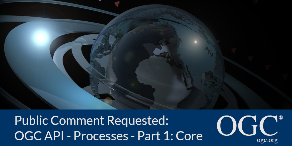
New OGC API standard for geospatial processing across the web; public comment sought before approval

OGC API – Processes simplifies the task of making simple or complex computational geospatial processing services accessible via web services.

OGC and ODA Announce Strategic Partnership

Partnership between OGC and the Open Design Alliance will promote cooperation on open geospatial standards and allow users to do more with BIM, CAD, and Geospatial data.The Open Geospatial Consortium (OGC), the international consortium driving the creation and adoption of open geospatial standards, and Open Design Alliance (ODA), the leading provider of CAD and BIM interoperability solutions, announced today a strategic partnership to promote and strengthen the use of open standards for the location and geospatial industries.OGC’s leadership in creating open standards forms a natural synergy with ODA’s expertise in standards implementation.The partnership between OGC and ODA is intended to develop and strengthen this synergy to the benefit of both organizations and the broader community.“OGC and ODA have complementary efforts to achieve data interoperability,” said Nadine Alameh, OGC CEO.

OGC and ODA Announce Strategic Partnership

Partnership between OGC and the Open Design Alliance will promote cooperation on open geospatial standards and allow users to do more with BIM, CAD, and Geospatial data.

Prashant Shukle receives OGC Lifetime Achievement Award

OGC recognizes and celebrates Prashant’s lifetime of service and his steadfast support of open geospatial standards and the OGC mission.The Open Geospatial Consortium (OGC) is proud to announce that Prashant Shukle is the latest recipient of the OGC Lifetime Achievement Award.Prashant has ensured the ongoing commitment of GeoConnections staff to work with OGC members to advance OGC standards and community best-practices of importance to Canada.Prashant has been an excellent global ambassador and advocate for the importance of open data and open standards.With this Lifetime Achievement Award, OGC recognizes and celebrates Prashant’s lifetime of service, and his steadfast support of geospatial open standards and the OGC mission as a component of effective governance and improved decision making.

Prashant Shukle receives OGC Lifetime Achievement Award

OGC recognizes and celebrates Prashant’s lifetime of service and his steadfast support of open geospatial standards and the OGC mission.

We Remember with fondness the incredible life and contributions of Lance McKee

The OGC family has lost a cherished friend and impassioned supporter of the use of location information and open standards for good. We recently learned…

OGC announces new Initiative to build the future of Health Spatial Data Infrastructure; Sponsorship opportunities available

Health SDI will integrate diverse sources and types of data to serve as a platform for Epidemic & Pandemic Early Warning, Response and Recovery

OGC announces new Initiative to build the future of Health Spatial Data Infrastructure; Sponsorship opportunities available

The resulting Health SDI will aim to serve as a Pandemic Early Warning, Response & Recovery Platform.As leaders in the interoperability of location information, OGC is inviting expressions of interest for sponsorship of its Health SDI initiative.The Health SDI Initiative is a community-driven, collaborative initiative that will, for the first time, bring together health, location, and technology experts to define, prototype, and demonstrate how to effectively connect different systems to find quick answers and enable informed decision-making during health crises.This will be accomplished by collaboratively developing and evolving a standards-based Health Spatial Data Infrastructure underpinned by the FAIR guiding principles.For more information, including how to express interest in sponsoring the initiative, visit the OGC Health SDI Initiative webpage.

OGC seeks public comment on new OGC API for Environmental Data Retrieval

The Open Geospatial Consortium (OGC) seeks public comment on the candidate OGC API – Environmental Data Retrieval Standard.The OGC API – Environmental Data Retrieval (OGC API – EDR) standard uses current web technologies and best practices to enable end-users – or anyone with web development experience – to easily identify and retrieve a subset of data from ‘big data’ stores.For some extra background information on the OGC API – Environmental Data Retrieval standard, read this blog post created after the EDR API Sprint held in March, 2020: ‘The OGC Environmental Data Retrieval API: simple access to big data.’ For more information on the OGC API family of standards, visit ogcapi.ogc.org.The candidate OGC API – Environmental Data Retrieval standard is available for review and comment on the OGC Portal.Comments are due by September 28, 2020, and should be submitted via the method outlined on the OGC API – Environmental Data Retrieval Standard’s public comment request page.

Sign up today

Receive the latest news on OGC.

© 2024 Open Geospatial Consortium. All Rights Reserved.

Become a memberBecome a member