News

Welcome to OGC News. You can use the filter below to show only Calls For Participation in or Sponsorship of OGC Initiatives, Requests for Public Comment, General Press Releases, or Blog Posts. Or use the search box to find news on a specific topic.

You may also want to subscribe to the OGC Newsletter: a short digest of news and events sent every two weeks.

All news (1453 match criteria)

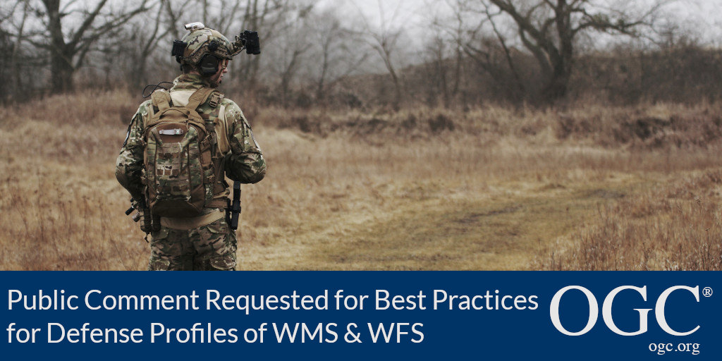
OGC Members update two best practices for Defence profiles of WMS and WFS; public comment sought before approval

The Open Geospatial Consortium (OGC) seeks public comment on updates to two Best Practice documents concerning Defence Profiles: DGIWG 122 Defence Profile of OGC’s Web Feature Service 2.0; and DGIWG 112 Defence Profile of OGC’s Web Map Service 1.3 – Revision.OGC Web Feature Service (WFS) and Web Map Service (WMS) are two of OGC’s most popular standards and are broadly used in the defence community.About Defence Geospatial Information Working Group (DGIWG)DGIWG is the multinational body established by a memorandum of understanding between the defence organisations of respective nations.This includes geospatial web service standards developed by the Open Geospatial Consortium (OGC).DGIWG profiles specific OGC Web Service standards as needed to address defence requirements.

OGC Members update two best practices for Defence profiles of WMS and WFS; public comment sought before approval

Updates to the documents bring clarity, better support implementation, and address comments and change requests from OGC Testbeds and partners.

OGC invites you to its Earth Observation Applications-to-the-Data Architecture Presentation Webinar

Webinar will present experiences and lessons learned on how to best exploit Big EO data stores and how to enable externally developed applications as additional services.The Open Geospatial Consortium (OGC) invites Earth Observation (EO) application developers and EO data platform operators to a free Earth Observation Applications-to-the-Data architecture presentation webinar on September 8, 2020.This webinar aims to present to EO application developers and EO platform operators the work that has been undertaken by OGC, ESA, and Natural Resources Canada.Implementers will share experiences and lessons learned on how to best exploit Big EO data stores and how to enable externally developed applications as additional services on EO platforms.Registration for the Earth Observation Applications-to-the-Data architecture presentation webinar is FREE and available here.

OGC invites you to its Earth Observation Applications-to-the-Data Architecture Presentation Webinar

Webinar will present experiences and lessons learned on how to best exploit Big EO data stores and how to enable externally developed applications as additional services.

OGC Members propose update to GeoSPARQL Standards Working Group; public comment sought on draft charter

The Open Geospatial Consortium (OGC) seeks public comment on the draft updated charter for the OGC GeoSPARQL Standards Working Group (SWG).Since the release of GeoSPARQL in 2012, there has been growth of both the Semantic Web and spatial information represented in Semantic Web form, with GeoSPARQL being widely used for spatial Semantic Web data.The draft charter for the OGC GeoSPARQL Standards Working Group is available for review and comment on the OGC Portal.Comments are due by August 6, 2020, and should be submitted via the method outlined on the OGC GeoSPARQL Standards Working Group Draft Charter public comment request page.Participation in the GeoSPARQL Standards Working Group is one of the many benefits of becoming an OGC Member.

OGC Members propose update to GeoSPARQL Standards Working Group; public comment sought on draft charter

OGC Standards Working Group will provide a major update to a key standard for representing and querying spatial data on the Semantic Web.

Developers invited to three OGC API Sprints in Q3 2020

A series of Sprints will build and test prototype implementations of four draft OGC API specifications to ensure that they are as developer-friendly, usable, and mature as possibleThe Open Geospatial Consortium (OGC) invites software developers to the next three OGC API Sprints for 2020.Registration for the Q3 2020 OGC API Sprints is here.The sprints will cover the draft OGC API – Common, OGC API – Maps and OGC API – Coverages specifications, as well as the draft Part 4 of the OGC API – Features standard.OGC API – Maps is expected to address use cases similar to those addressed by the OGC Web Map Service (WMS) standard.The three Sprints will be held on the following dates:28-29 July 2020: OGC API – Maps Sprint10-11 August 2020: OGC API – Coverages Sprint29-30 September 2020: OGC API – Common and OGC API – Features Sprint.

Developers invited to three OGC API Sprints in Q3 2020

A series of Sprints will build and test prototype implementations of four draft OGC API specifications to ensure that they are as developer-friendly, usable, and mature as possible

Developers are invited to the OGC Interoperable Simulation and Gaming Sprint

The draft specification aligns with OGC Web API Guidelines and supports multiple 3D geospatial standards from the OGC portfolio, including 3D Tiles, I3S, CDB, and CityGML.At OGC Sprints, technology and domain experts, programmers and program managers come together to test and recommend improvements to draft specifications.OGC encourages participation by organizations with geospatial experience that have not worked with OGC in the past.To learn more about the Sprint, or to download the Call For Participation, visit the Interoperable Simulation and Gaming Sprint page on the OGC website.For information on other OGC Sprints, both past and future, visit the OGC Sprints webpage.

Sign up today

Receive the latest news on OGC.

© 2024 Open Geospatial Consortium. All Rights Reserved.

Become a memberBecome a member