News

Welcome to OGC News. You can use the filter below to show only Calls For Participation in or Sponsorship of OGC Initiatives, Requests for Public Comment, General Press Releases, or Blog Posts. Or use the search box to find news on a specific topic.

You may also want to subscribe to the OGC Newsletter: a short digest of news and events sent every two weeks.

All news (1453 match criteria)

OGC and SSSI Working Together to Enhance the Capacity of Spatial Professionals Across Australia

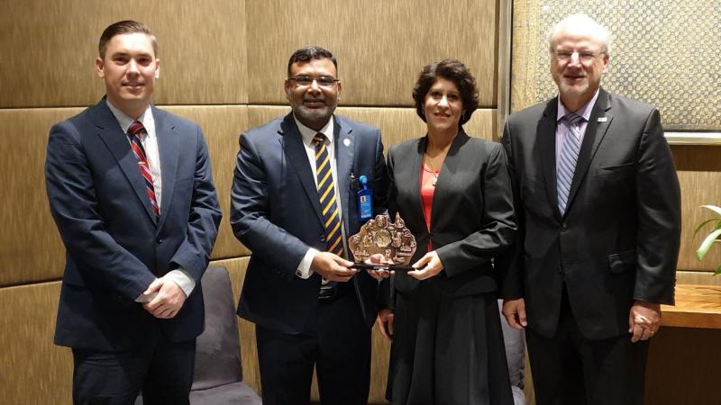
Mr Simon Callaghan, Dr Zaffar Sadiq Mohamed-Ghouse, Dr Nadine Alameh and Mr Mark Reichardt (left to right)

OGC seeks public comment on Geospatial Coverages Data Cube Community Practice Document

By documenting real-world community practices behind Geospatial Data Cubes the document aims to promote coordination and common terminology that could lead to federated Geospatial Data Cube ServicesThe Open Geospatial Consortium (OGC) seeks public comment on the Geospatial Coverages Data Cube Community Practice document.rasters and imagery) data structure, the Community Practice document defines requirements for a geospatial coverages data cube infrastructure and guidelines for enhancements and extensions to the basic core.A Geospatial Coverage Data Cube is a Data Cube established on the basis of the Geospatial Coverage standard with a grid system for data with one or more coordinate dimensions for space and time.The document captures effective practices for Geospatial Data Cubes based on several communities that have implemented and are running operational geospatial data cubes.The candidate Geospatial Coverages Data Cube Community Practice document is available for review and comment on the OGC Portal.

OGC seeks public comment on draft charter for new Geopose Standards Working Group

The Geopose SWG will work towards a standard that will provide an interoperable way to express, record, and share the location, position, and orientation of objectsThe Open Geospatial Consortium (OGC) seeks public comment on the draft charter for the new Geopose Standards Working Group (SWG).An object with a geopose may be any real physical object.The Geopose Standards Working Group draft charter is available for review and comment on the OGC Portal.Comments are due by 5th September 2019 and should be submitted via the method outlined on the Geopose Standards Working Group draft charter request page.OGC’s member-driven consensus process creates royalty free, publicly available geospatial standards.

OGC requests public comment on draft charter for new ‘OGC API – Catalogues’ Standards Working Group

The purpose of this Standards Working Group is to develop a new version of the OGC Catalogue Service standard for the World Wide Web.OGC Chief Operations Officer and Executive Director of OGC’s Standards Program, Scott Simmons, outlined the movement in a recent blog post entitled OGC APIs and the evolution of OGC standards.OpenAPI allows easy implementation in a number of languages and patterns and has proven very simple to use in creating RESTful implementations.”The ‘OGC API – Catalogues’ Standards Working Group draft charter is available for review and comment on the OGC Portal.Comments are due by 4th September 2019, and should be submitted via the method outlined on the ‘OGC API – Catalogues’ Standards Working Group draft charter request page.OGC’s member-driven consensus process creates royalty free, publicly available geospatial standards.

OGC invites you to the Disasters Resilience Pilot Demonstration Event

Getting the Right Information to the Right Person at the Right TimeThe Open Geospatial Consortium (OGC) invites anyone who provides and/or uses geospatial data or products for disaster planning and response to the Disasters Resilience Pilot Demonstration Event, to be held Wednesday, September 18, 2019 at USGS Headquarters, Reston, VA.During times of disaster preparation, geospatial data is used to identify at-risk areas.It will show accessing and integrating geospatial information from different sources providing the right information to the right person at the right time.To register for the September 18, 2019 demonstration event, please visit the Disasters Resilience Pilot Demonstration Event page.This Pilot builds on previous work executed as the Disasters Interoperability Concept Development Study (CDS) and documented in the OGC Development of Disaster Spatial Data Infrastructures for Disaster Resilience report.

OGC seeks public comment on Symbology Conceptual Core Model (SymCore)

The Open Geospatial Consortium (OGC) seeks public comment on the candidate Symbology Conceptual Core Model (SymCore).The Symbology Conceptual Core Model (SymCore) is the basis for defining symbology rules for the portrayal of geographic data.The model is modular and extensible (one core model, many extensions), and also encoding agnostic (one symbology model, many encodings).The candidate Symbology Conceptual Core Model (SymCore) standard is available for review and comment on the OGC Portal [NOTE: the URL has recently changed to point to the correct version.Comments are due by 13 September and should be submitted via the method outlined on the candidate Symbology Conceptual Core Model (SymCore) request page.

OGC Calls for Participation in its 3D IoT Platform for Smart Cities Pilot

The Pilot will focus on two scenarios: real-time monitoring of indoor occupancy; and real-time monitoring of micro-dust air pollutants.The Open Geospatial Consortium (OGC) invites interested members & non-members to participate in OGC’s 3D IoT Platform for Smart Cities Pilot.The Pilot will focus on two scenarios: real-time monitoring of indoor occupancy; and real-time monitoring of micro-dust air pollutants.The outcomes are expected to facilitate and standardize the access to environmental, building, and internet of things (IoT) data in Smart Cities.To access the Call for Participation or learn more about this Initiative, please visit the OGC 3D IoT Platform for Smart Cities Pilot Initiative Webpage or contact techdesk [at] opengeospatial.org.

OGC invites you to its CityGML Challenge

Help to create visualization tools that support CityGML 3 and you could land a £5,000 cash prizeThe Open Geospatial Consortium (OGC), Ordnance Survey (OS), and Manchester City Council (MCC) invite interested developers to participate in the CityGML Challenge.The CityGML Challenge will encourage the configuration of software tools to visualise CityGML data.To learn more about how to participate in the CityGML Challenge, including the informational webinars being held on 7 August and 5 September, visit OGC’s CityGML Challenge webpage.The Manchester partners are the University of Manchester, Manchester Metropolitan University, Siemens, local SME, Clicks and Links, and Manchester City Council alongside Eindhoven (Netherlands) and Stavanger (Norway).About Manchester City CouncilManchester City Council is the local government authority for Manchester, a city and metropolitan borough in Greater Manchester, England.

OGC and RTCA Announce Signing of Memorandum of Understanding

The Open Geospatial Consortium (OGC) and RTCA, Inc. are pleased to announce the signing of a memorandum of understanding (MOU) to collaborate in promoting the value and power of digital standards to support information integration and interoperability solutions in the aviation ecosystem.The MOU establishes an agreement to jointly work together in the development of standards and solutions being advanced by both organizations to their membership.For further information please visit the RTCA website at www.rtca.orgAbout OGCThe Open Geospatial Consortium (OGC) is an international consortium of more than 525 companies, government agencies, research organizations, and universities participating in a consensus process to develop publicly available geospatial standards.OGC standards support interoperable solutions that ‘geo-enable’ the Web, wireless & location-based services, and mainstream IT.OGC standards empower technology developers to make location information and services accessible and useful within any application that needs to be location-aware.

Sign up today

Receive the latest news on OGC.

© 2024 Open Geospatial Consortium. All Rights Reserved.

Become a memberBecome a member