Related Content: Spatial Data Infrastructure
-
Blog article
The Vital Role of Undersea Cable Infrastructure and the Importance of Geospatial Standards
Undersea cables are the invisible lifelines of the global internet, yet they face growing threats—from accidents to sabotage. This article explores how geospatial standards from...
-
Blog article
From Data to Decisions: Aligning for the Space Economy
Space is no longer just a frontier—it’s a marketplace, a battleground, and a lifeline.
-
Blog article
Public Services on the Map: A Decade of Success
The Netherlands’ Cadastre, Land Registry, and Mapping Agency (Kadaster) maintains the nation’s register of land and property rights, ships, aircraft, and telecom networks. It’s also...
-
Blog article
Making The Data Count, Not Just Counting The Data
The UKHO’s Dr. Gerald J Wong explains how using the IGIF-(M)SDI Maturity Roadmap enables governments to better harness geospatial data that supports their nations’ socio-economic...
-
Announcement
OGC, UKHO, and partners release the IGIF-(M)SDI Maturity Roadmap
New Roadmap seeks to advance and simplify efforts in Marine SDI and ensure their alignment with the UN-IGIF principles.
-
Blog article
European Innovation, Global Impact
OGC's ongoing contributions to European research topics, driven by projects co-funded by the European Commission (EC), cover areas such as data spaces, climate, digital building...
-
Blog article
OGC SensorThings API for European Green Deal Data Spaces
This post outlines the SensorThings API Standard together with initial results from two Horizon Europe projects on Green Deal Data Spaces: All Data for Green...
-
Announcement
OGC Forms new GeoDCAT Standards Working Group
The GeoDCAT SWG will separate a general geospatial profile of DCAT, called GeoDCAT, out from the Europe-specific Application Profile, GeoDCAT-AP.
-
Announcement
OGC to host European Innovation Days and more at Data Week Leipzig ‘23
As part of GeoE3, OGC will present on Data Spaces, The European Green Deal, Urban Platforms, Semantics, and FAIR data and services.
-
Announcement
OGC API – Common – Part 1: Core Adopted as Official OGC Standard
OGC API - Common specifies reusable building blocks that can be used in the construction of OGC API or other other resource-specific Web API Standards.
-
Call for participation (CFP)
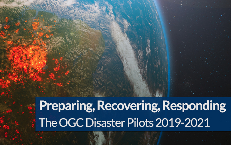
OGC Calls For Participation in its next Pilot to improve Disaster Management and Response
New Pilot will bridge technology and stakeholder engagement to reduce disaster preparation time and accelerate our ability to transform data from observation into decision.
-
Blog article
The mechanisms through which maps are delivered across the Internet have evolved significantly over the past two decades. Advancement of such mechanisms has been driven...
-
Blog article
Bringing the Heat in Madrid: a recap of our 123rd Member Meeting
OGC’s 123rd Member Meeting – our long awaited return to in-person(!) – was held in Madrid, Spain, from June 13-16, 2022. And even with the heatwave...
-
Blog article
The Latest on Cloud-Native Geospatial Standards in OGC
OGC Chief Standards Officer, Scott Simmons, digs into the elements of the cloud ecosystem that OGC is addressing: interfaces, applications, encodings, and operations.
-
Blog article
INSPIRE and OGC APIs – Modernizing INSPIRE
Within the broader context of the European Strategy for Data, the Joint Research Centre (the European Commission’s science and knowledge service) is collaborating with the EU Member States...
-
Blog article
Evolving Geospatial Technologies Through OGC’s Testbed-17
Decades in the Making: The Challenges of Evolving Technologies and Standards When it comes to evolving a technology or standard over multiple decades, the struggle...
-
Blog article
Evolving Spatial Data Infrastructure
Spatial Data is distributed across users, tools, and regions for a variety of purposes via Spatial Data Infrastructure (SDI), but there are additional economic and...
-
Blog article
Five Things Location Tech Can Do Before the Next Pandemic
Article contributed by Jessie Abbate, PhD, Infectious Disease Ecologist, Epidemiologist, and Geospatial Data Scientist at Geomatys – During its March 2021 members meeting, the Health Domain...
-
Blog article
The last three years have been unprecedented when it comes to disasters. In 2019 alone there was billions of dollars’ worth of damage, and thousands...


