Related Content: Urban Planning
-
Blog article
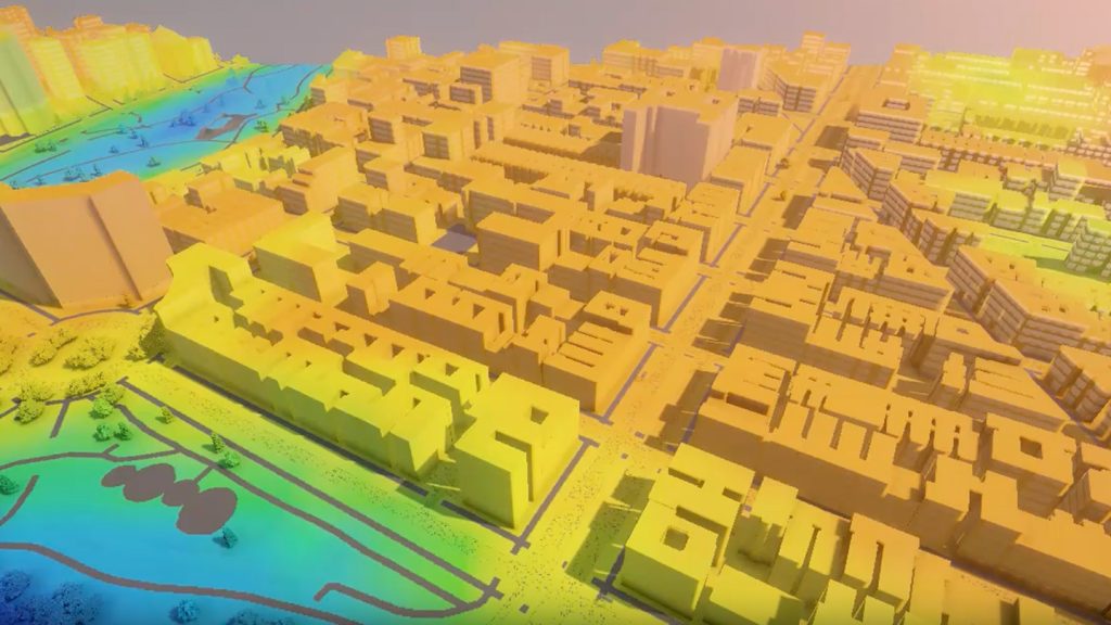
How Cities Can Beat Extreme Heat: Mapping the Invisible Killer
A data-driven approach to understanding, predicting, and preventing heat-related deaths in urban neighborhoods.
-
Blog article
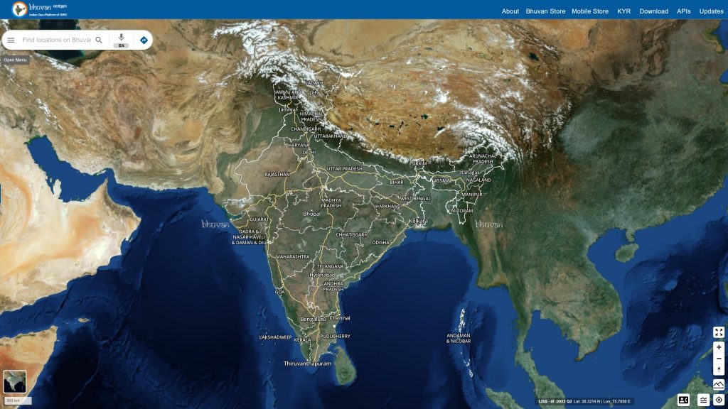
Bhuvan: Transforming India’s Governance with Geospatial Insights
The Bhuvan portal, developed by the Indian Space Research Organization’s National Remote Sensing Centre, is powered by OGC Standards and caters to 150,000 unique users...