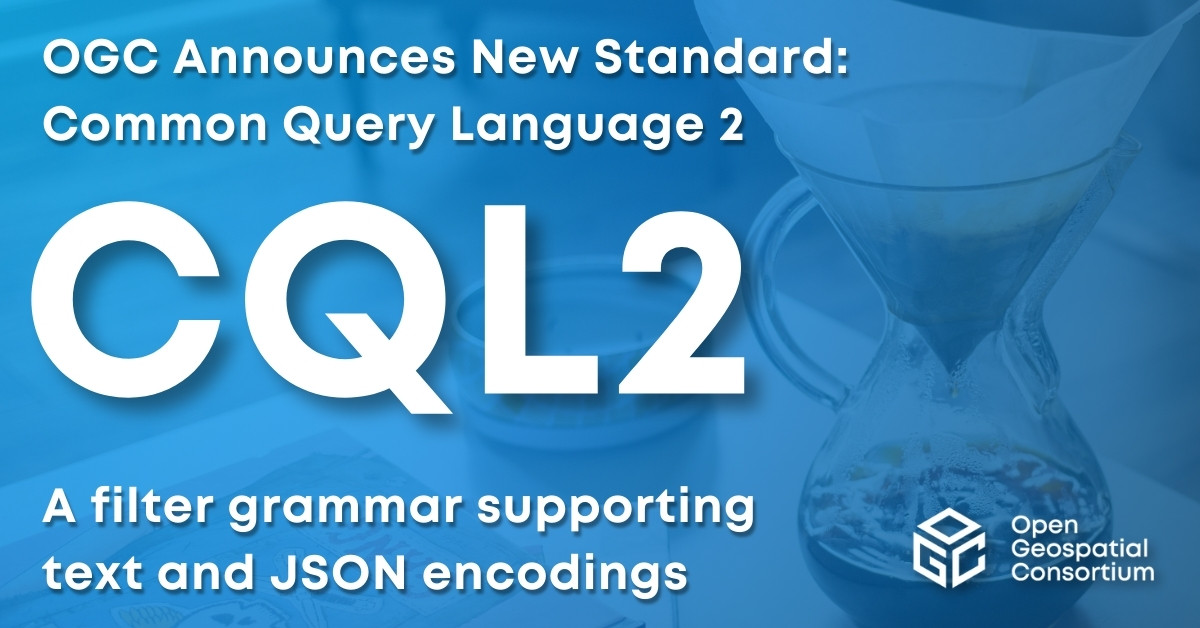
OGC Membership approves Common Query Language (CQL2) as an official OGC Standard
CQL2 is a filter grammar supporting both text and JSON encodings that can be easily integrated into software applications.


The OpenGIS® Coordinate Transformation Service Standard (CT) provides a standard way for software to specify and access coordinate transformation services for use on specified spatial data. This standard addresses a key requirement for overlaying views of geodata (“maps”) from diverse sources: the ability to perform coordinate transformation in such a way that all spatial data are defined relative to the same spatial reference system.
| Document title | Version | OGC Doc No. | Type |
|---|---|---|---|
| OpenGIS Coordinate Transformation Service Implementation Specification | 1.0 | 01-009 | IS |
| OpenGIS Coordinate Transformation Service Implementation Specification | 01-009 | IS |

Receive the latest news on OGC.
© 2024 Open Geospatial Consortium. All Rights Reserved.